

Highlights
- Cross several high mountain passes around 5,000 meters above sea level.
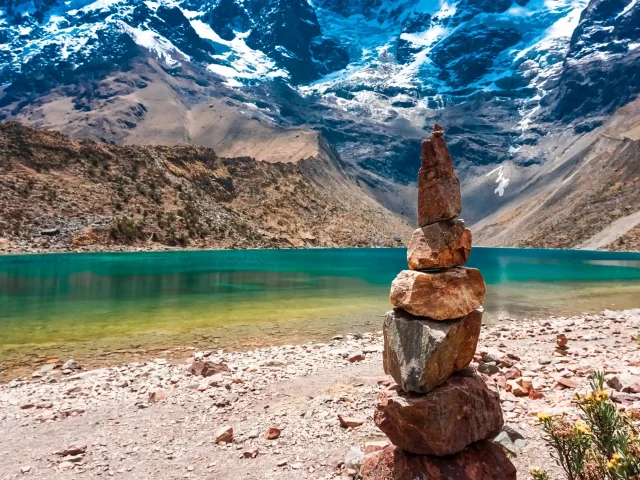
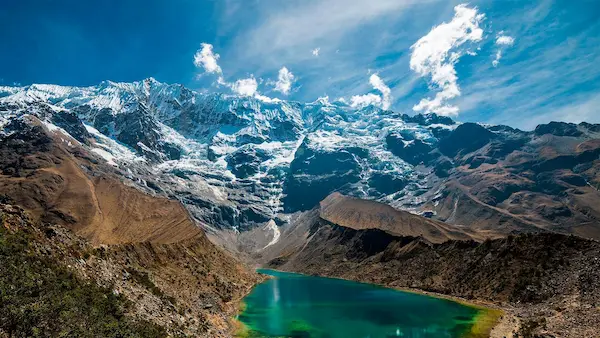
- Walk among glacial lagoons of blue, green and turquoise tones.
- Observe hanging glaciers, rocky walls, moraines and valleys formed by ancient glacial processes.
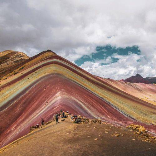
- Visit the Colored Mountain after entering by a different trekking route to the conventional day trip.
- Cross the Red Valley, characterized by its mineral-colored soils and open landscapes.
- Walk along lagoons such as Pumacocha and other bodies of water formed by the melting of the mountain range.
Itinerary
Cusco – Ocongate – Tinqui – Upis
Highlight of the day: First contact with the Vilcanota Mountain Range and camp near the thermal waters of Upis.
The guide will pick you up from your hotel in Cusco at approximately 7:00 a.m.
After organizing the luggage, we will leave by private transport to the south of Cusco. The route continues through the South Valley and the province of Quispicanchi until you reach Ocongate.
During the trip you can see:
- agricultural fields, when applicable to the confirmed itinerary and operating conditions.
- Andean peoples, when applicable to the confirmed itinerary and operating conditions.
- Mountains, when applicable to the confirmed itinerary and operating conditions.
- Herds of cattle, when applicable to the confirmed itinerary and operating conditions.
- Sectors of the Interoceanic Road.
- Progressive changes in altitude.
Arrival in Tinqui
Tinqui will be the organizational point before starting the walk.
According to the confirmed operation, in this place you can meet the support staff mentioned in the itinerary, as arrieros and responsible for the cargo animals.
Before starting they will be organized:
- Luggage, when applicable to the confirmed itinerary and operating conditions.
- Camp material, when applicable to the confirmed itinerary and operating conditions.
- Food, when applicable to the confirmed itinerary and operating conditions.
- Kitchen equipment, when applicable to the confirmed itinerary and operating conditions.
- Personal backpacks, when applicable to the confirmed itinerary and operating conditions.
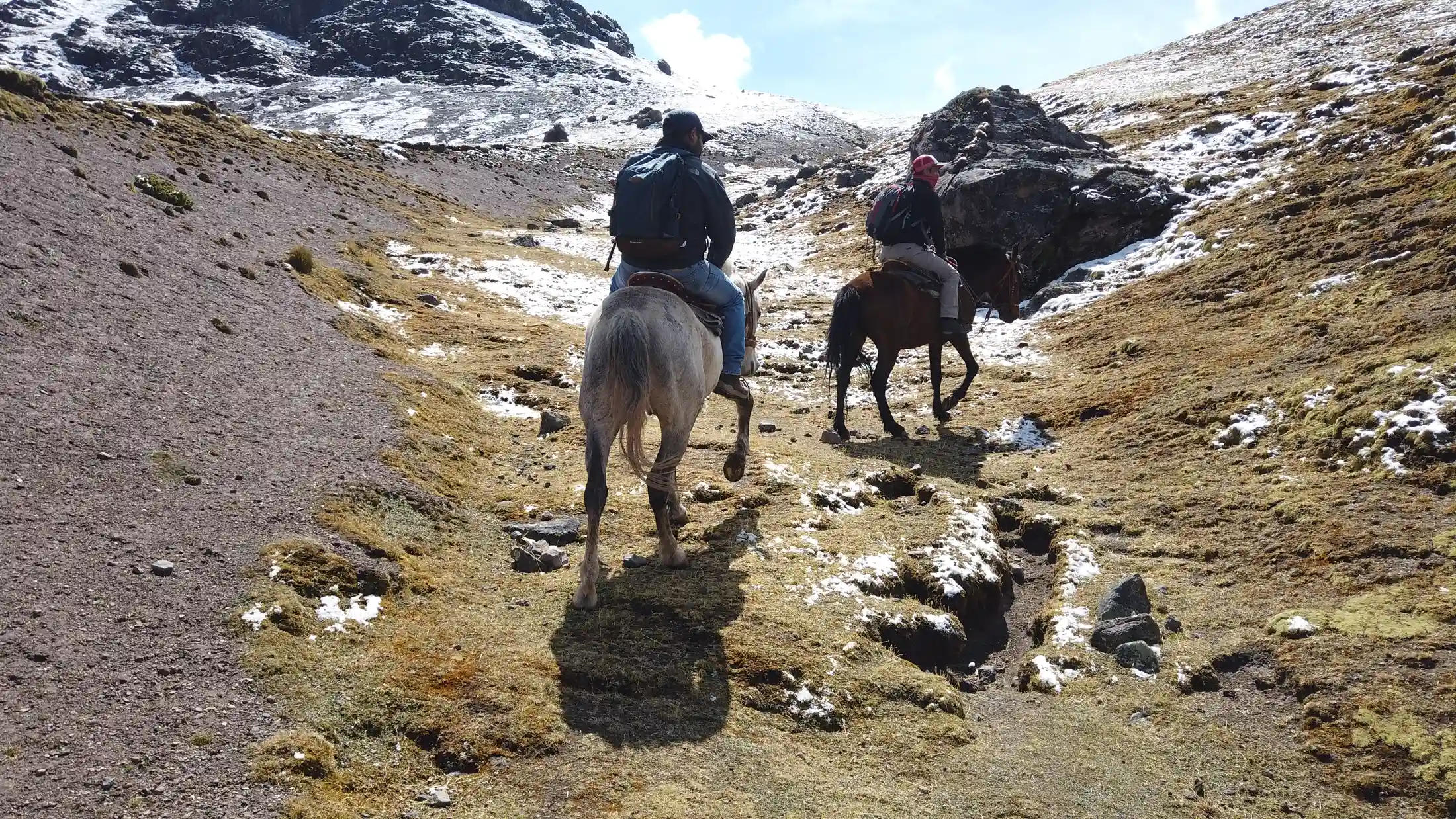
- Horses or mules, when included.
Hike to Upis
The first day is shorter than the following days and allows to start the progressive acclimatization.
The trail crosses open ground, grassland and small rural properties.
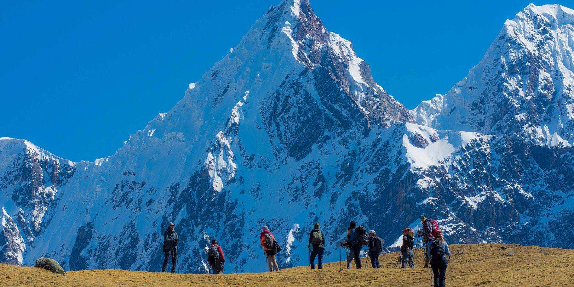
As you move forward you will begin to observe the snowy Ausangate and other mountains of the mountain range.
The indicated distance is approximately 8 km. The correct equivalence is close to 5 miles, not 3 miles.
Lunch in Upis
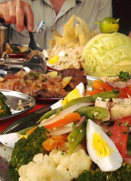
When you arrive in the Upis sector you will serve the lunch prepared for the group.
The content will depend on availability and logistical conditions.
It may include:
- Soup, when applicable to the confirmed itinerary and operating conditions.
- Rice or another grain-based accompaniment may be offered as part of the buffet.
- Local potato preparations may be included as a traditional accompaniment.
- A selection of cooked or fresh vegetables may be available, depending on the assigned restaurant.
- Chicken or meat, when applicable to the confirmed itinerary and operating conditions.
- Hot drink, when applicable to the confirmed itinerary and operating conditions.
Upis hot springs
When the schedule and conditions allow, you can enter the hot springs.
The access fare is not detailed within the included services, so it must be confirmed before the trip.
To enter leads:
- Swimwear, when applicable to the confirmed itinerary and operating conditions.
- Towel, when applicable to the confirmed itinerary and operating conditions.
- Sandals, when applicable to the confirmed itinerary and operating conditions.
- Dry clothes, when applicable to the confirmed itinerary and operating conditions.
It is not recommended to stay too long if you feel dizzy, weakness, or altitude-related symptoms.
Camp in Upis
The camp will be installed approximately at 4,400 m m above sea level
During the afternoon you will be able to:
- Rest, when applicable to the confirmed itinerary and operating conditions.
- Drinking coca tea, when applicable to the confirmed itinerary and operating conditions.
- Organize your clothes, when applicable to the confirmed itinerary and operating conditions.
- Watch the mountains, when applicable to the confirmed itinerary and operating conditions.
- Prepare for a cold night.
Temperatures can drop below 0 °C during the early morning.
Technical Details
- Distance: Approximately 8 km
- Walking time: About 2 hours
- Camp Altitude: Approximately 4,400 m m above sea level
- Difficulty: Moderate for altitude
- Transportation: Cusco–Tinqui, when applicable to the confirmed itinerary and operating conditions.
- Meals: According to programming
- Accommodation: Camp, when applicable to the confirmed itinerary and operating conditions.
Upis – Paso Arapa – Pumacocha – Paso Pucacocha – Chillca
Highlight of the day: Crossing two mountain passes and camping in front of glaciers and lagoons.
The day will start at approximately 5:00 a.m.
The equipment may offer a hot drink in the shop before breakfast, subject to the confirmed operation.
After organizing the camp we will start the promotion.
Paso Arapa
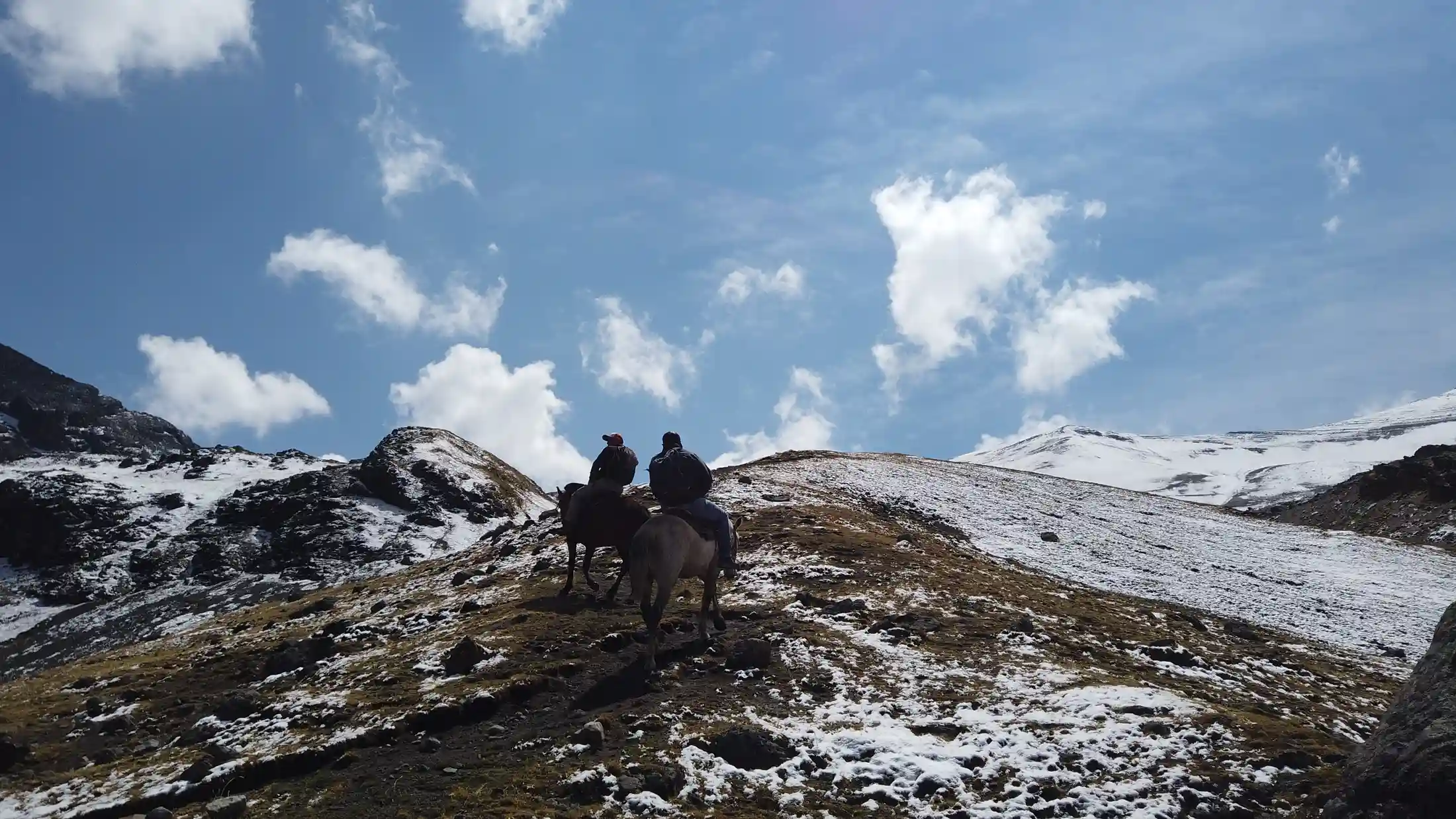
The first part consists of a climb towards the Arapa Pass, indicated at approximately 4,958 m m above sea level
During the ascent you will see:
- Snowy Ausangate, when applicable to the confirmed itinerary and operating conditions.
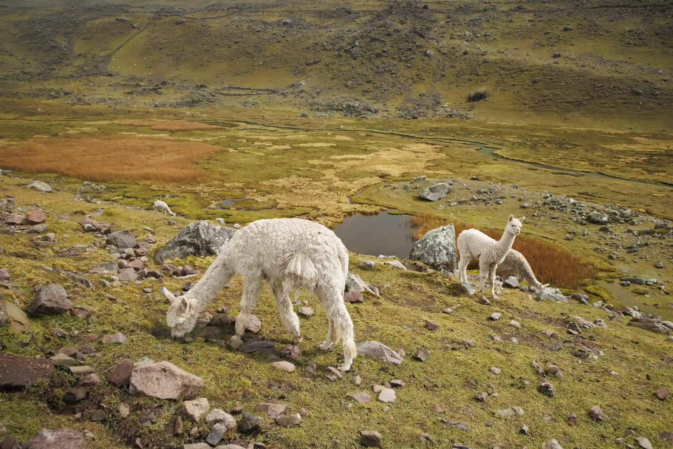
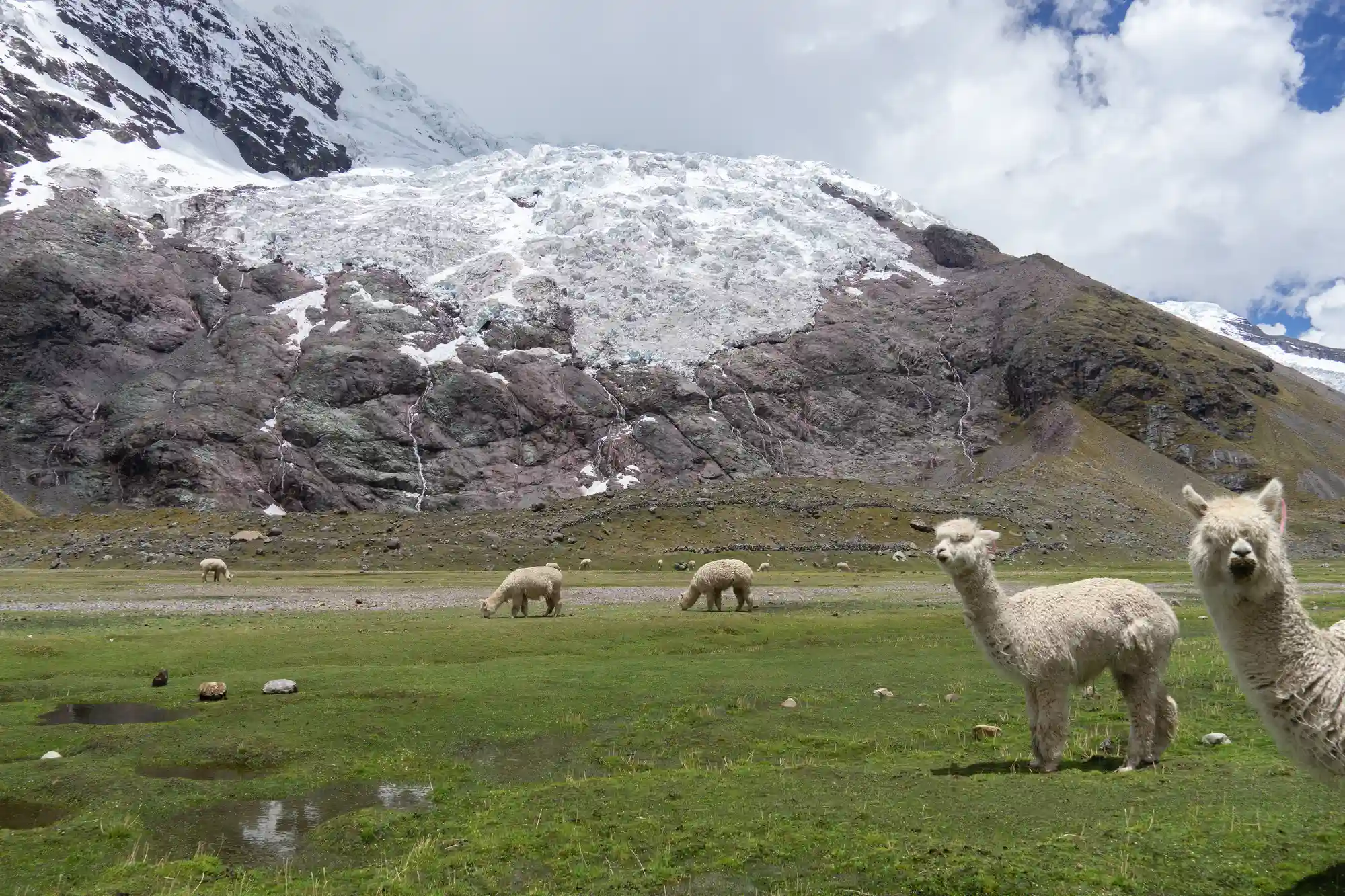
- Herds of flames and alpacas.
- Pastors of the communities.
- Pastes of puna, when applicable to the confirmed itinerary and operating conditions.
- Mountains of rock and ice.
- Walk slowly and keep a constant breath.
Descent to Pumacocha
After the passage we will descend to a sector near the Pumacocha lagoon.
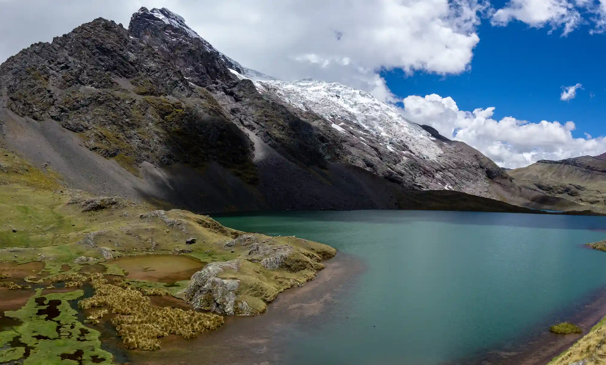
Water may have dark blue or turquoise shades depending on light, sediment and cloud cover.
In this sector we will pause for lunch.
Paso Pucacocha
After lunch another ascent will begin towards the Pucacocha Pass, indicated about 5,000 m m above sea level
From the step you can see:
- Lagoons, when applicable to the confirmed itinerary and operating conditions.
- Glaciers, when applicable to the confirmed itinerary and operating conditions.
- Morrenas, when applicable to the confirmed itinerary and operating conditions.
- Snowy mountains, when applicable to the confirmed itinerary and operating conditions.
- Valleys of height, when applicable to the confirmed itinerary and operating conditions.
There is the possibility of observing condors or vicuñas, but it cannot be guaranteed.
Descent to Chillca
After the second step we will descend to the camp of Chillca.
The itinerary mentions hanging glaciers and ice sheddings visible over the lagoons. You should stay within the sectors indicated by the guide and not approach ice walls or exposed areas.
Camp in Chillca
When you arrive, the camp will be organized.
The temperature can drop quickly after sunset.
Technical Details
- Distance: Approximately 15 km
- Walking time: About 7 hours
- First step: Arapa, around 4,958 m
- Altitude of the camp indicated: Approximately 4,300 m
- Difficulty: Very demanding, when applicable to the confirmed itinerary and operating conditions.
- Land: Earrings, rock, grassland and wet sectors
- Accommodation: Camp, when applicable to the confirmed itinerary and operating conditions.
Chillca – Paso Chillca – Red Valley – Mountain of Colors – Lake Ausangate
Highlight of the day: Crossing the Red Valley and arriving on the Mountain of Colors by a high mountain route.
The day begins with the ascent to the Chillca pass, indicated at approximately 5,051 m m above sea level
During this part you can see mountains with different mineral shades.
Entry into the Red Valley
After the passage we will enter the Red Valley.
The terrain is characterized by:
- Reddish soils, when applicable to the confirmed itinerary and operating conditions.
- mineral slopes, when applicable to the confirmed itinerary and operating conditions.
- Open landscapes, when applicable to the confirmed itinerary and operating conditions.
- Little vegetation, when applicable to the confirmed itinerary and operating conditions.
- Flame herds, when applicable to the confirmed itinerary and operating conditions.
- Constant wind, when applicable to the confirmed itinerary and operating conditions.
The colors may vary depending on the humidity, the intensity of the sun and the time of year.
View of the Mountain of Colors
As the walk progresses, the Mountain of Colors will appear in the distance.
The route may include descents, relatively flat sectors and a final climb.
The term local “peruvian plane” is usually used informally to describe a terrain that seems flat from afar, but contains small continuous climbs and descents.
Final Ascent
The last climb can feel demanding due to fatigue and altitude.
There is no need to walk quickly. The guide will monitor the pauses and review the group condition.
Mountain of Colors
When you arrive you will have time to:
- Observe the landscape, when applicable to the confirmed itinerary and operating conditions.
- Take pictures, when applicable to the confirmed itinerary and operating conditions.
- Rest, when applicable to the confirmed itinerary and operating conditions.
- Listen to the explanation of the guide.
- Recognize the nearby mountains.
- The weather can change quickly.
It is possible to find:
- Intense sun, when applicable to the confirmed itinerary and operating conditions.
- Fog, when applicable to the confirmed itinerary and operating conditions.
- Rain, when applicable to the confirmed itinerary and operating conditions.
- Hail, when applicable to the confirmed itinerary and operating conditions.
- Snow, when applicable to the confirmed itinerary and operating conditions.
- Strong wind, when applicable to the confirmed itinerary and operating conditions.
Colors are not guaranteed to be observed with the same intensity as in edited photographs.
Lunch
Lunch will be served in the surrounding area or at a protected point selected by the team.
The location may change due to wind, rain or the presence of other visitors.
Hike to Lake Ausangate
After the visit we will return to the valley and continue to the sector known as Lake Ausangate.
The camp will be installed at the selected operating point.
Technical Details
- Distance: Approximately 20 km
- Walking time: Between 7 and 8 hours
- Minimum Altitude Indicated: Approximately 4,300 m
- Difficulty: Very demanding, when applicable to the confirmed itinerary and operating conditions.
- Main attractions: Red Valley and Colored Mountain
- Accommodation: Camp near Lake Ausangate
- Route: Chillca – Paso Chillca – Red Valley – Mountain of Colors – Lake Ausangate
Lake Ausangate – Paso Palomani – Pampacancha
Highlight of the day: Crossing one of the highest sectors of the expedition and observation of lagoons, fauna and glaciers.
After breakfast we will start the trek following sectors near glacial lagoons and waterways.
The route goes through:
- High-altitude meadows, when applicable to the confirmed itinerary and operating conditions.
- Wetlands, when applicable to the confirmed itinerary and operating conditions.
- Gorges, when applicable to the confirmed itinerary and operating conditions.
- Lagoons, when applicable to the confirmed itinerary and operating conditions.
- Morrenas, when applicable to the confirmed itinerary and operating conditions.
- Rocky slopes, when applicable to the confirmed itinerary and operating conditions.
Wildlife
This day can offer opportunities to observe:
- Vicuñas, when applicable to the confirmed itinerary and operating conditions.
- Condors, when applicable to the confirmed itinerary and operating conditions.
- Vizcachas, when applicable to the confirmed itinerary and operating conditions.
- High Andean birds, when applicable to the confirmed itinerary and operating conditions.
- Alpacas, when applicable to the confirmed itinerary and operating conditions.
- You’re calling, when applicable to the confirmed itinerary and operating conditions.
- Animals should be observed at a distance.
Ascent to the Palomani Pass
The itinerary indicates a maximum altitude of approximately 5,400 m m above sea level
The exact altitude should be confirmed with the operator, as it may vary depending on the step and the variant used.
The promotion requires:
- Short steps, when applicable to the confirmed itinerary and operating conditions.
- Controlled breathing, when applicable to the confirmed itinerary and operating conditions.
- Hydration, when applicable to the confirmed itinerary and operating conditions.
- Frequent pauses, when applicable to the confirmed itinerary and operating conditions.
- Continuous communication with the guide.
Descent to Pampacancha
After the passage a descent to the camp of Pampacancha begins.
The terrain can present loose stones, mud, snow or ice depending on the season.
Use canes to protect your knees and maintain balance.
Technical Details
- Distance: Approximately 17 km
- Walking time: Between 7 and 8 hours
- Initial altitude: About 4,300 m
- Difficulty: Very demanding, when applicable to the confirmed itinerary and operating conditions.
- Accommodation: Camp in Pampacancha
- Route: Lake Ausangate – Paso Palomani – Pampacancha
- Altitude: Ascent to the Palomani Pass The itinerary indicates a maximum altitude of approximately 5,400 m s
Pampacancha – Paso Qampa – Pacchanta
Highlight of the day: Glacier lagoons, last great mountain pass and rest in the thermal waters of Pacchanta.
After breakfast we will begin the ascent to the Qampa Pass.
During the route there are alpine lagoons and different perspectives of the snowy Ausangate.
Glacier Lagoons
The trail passes near bodies of water that may have shades:
- Deep blue, when applicable to the confirmed itinerary and operating conditions.
- Green, when applicable to the confirmed itinerary and operating conditions.
- Turquoise, when applicable to the confirmed itinerary and operating conditions.
- Glacier grey, when applicable to the confirmed itinerary and operating conditions.
- It is not recommended to enter the lagoons.
Although the itinerary mentions the possibility of swimming, doing so can pose risks by:
- Extremely low temperatures, when applicable to the confirmed itinerary and operating conditions.
- Hypothermia, when applicable to the confirmed itinerary and operating conditions.
- Altitude, when applicable to the confirmed itinerary and operating conditions.
- Depth, when applicable to the confirmed itinerary and operating conditions.
- Unstable edges, when applicable to the confirmed itinerary and operating conditions.
- Absence of immediate medical care.
The decision to enter should be avoided unless the guide confirms safe conditions and local authorization exists.
Step Qampa
The program indicates an altitude of up to 5,400 m m above sea level
The exact figure must be confirmed because different routes and measurements may vary.
This will be the last big step of the expedition.
Descent to Pacchanta
After the passage we will descend into the valley of Pacchanta.
As altitude is lost, they appear:
- Grasslands, when applicable to the confirmed itinerary and operating conditions.
- Herds, when applicable to the confirmed itinerary and operating conditions.
- Rural housing, when applicable to the confirmed itinerary and operating conditions.
- Fields, when applicable to the confirmed itinerary and operating conditions.
- Wide view of the Ausangate.
Thermal waters of Pacchanta
When you arrive you can rest in the hot springs when they are available.
The entry fee is not specified within the included services.
Take:
- Swimwear, when applicable to the confirmed itinerary and operating conditions.
- Towel, when applicable to the confirmed itinerary and operating conditions.
- Sandals, when applicable to the confirmed itinerary and operating conditions.
- Cash, when applicable to the confirmed itinerary and operating conditions.
- Dry clothes, when applicable to the confirmed itinerary and operating conditions.
Camp in Pacchanta
The last camp will be held in Pacchanta or in a nearby sector.
Technical Details
- Distance: Approximately 16 km
- Walking time: Between 6 and 7 hours
- Initial altitude: Approximately 4,300 m
- Final Altitude: About 4,000 m
- Difficulty: Very demanding, when applicable to the confirmed itinerary and operating conditions.
- Optional activity: Hot springs
- Accommodation: Camp, when applicable to the confirmed itinerary and operating conditions.
Pacchanta – Tinqui – Cusco
Highlight of the day: Last walk through the valley, farewell lunch and return to Cusco.
The sixth day will be less demanding than the previous days.
After breakfast we will start the walk to Tinqui.
Final Walk
The trail crosses rural sectors and land with minor slopes.
During the tour you can see for the last time:
- Snowy Ausangate, when applicable to the confirmed itinerary and operating conditions.
- Grasslands, when applicable to the confirmed itinerary and operating conditions.
- Herds, when applicable to the confirmed itinerary and operating conditions.
- Communities, when applicable to the confirmed itinerary and operating conditions.
- Mountains of the Vilcanota Mountains.
Arrival in Tinqui
When you arrive, the team will be organized and the last lunch will be served.
Then we will board private transportation to return to Cusco.
Return to Cusco
The arrival at the hotel is scheduled at approximately 5:00 p.m.
The schedule may vary by:
- Rhythm of the group.
- State of the road.
- Weather conditions may affect visibility, walking conditions and the duration of the route.
- Stops, when applicable to the confirmed itinerary and operating conditions.
- Traffic conditions may change transfer times and the order of some stops.
- Organization of the team.
Technical Details
- Indicated distance: Approximately 16 km
- Walking time: Between 3 and 4 hours
- Altitude: Progressive descent from approximately 4,000 m
- Difficulty: Moderate, when applicable to the confirmed itinerary and operating conditions.
- Lunch: Included by program
- Transportation: Tinqui–Cusco, when applicable to the confirmed itinerary and operating conditions.
- Estimated arrival: 5:00 p.m.
Availability is subject to the confirmation of all limited services involved in the tour. The following booking guidelines help travelers choose a realistic reservation timeframe and understand the factors that may affect final confirmation.
The trek is subject to:
- State of steps, when applicable to the confirmed itinerary and operating conditions.
- quantity of snow, when applicable to the confirmed itinerary and operating conditions.
- Weather conditions may affect visibility, walking conditions and the duration of the route.
- Availability of the guide.
- Transportation, when applicable to the confirmed itinerary and operating conditions.
- Camping team, when applicable to the confirmed itinerary and operating conditions.
- Arrieros, when applicable to the confirmed itinerary and operating conditions.
- Cargo animals, when applicable to the confirmed itinerary and operating conditions.
- Local permissions or tickets.
- Conditions of the communities.
We recommend booking:
- Several weeks in advance.
- With more time for large groups.
- In addition to horses when required.
- Before the high trekking season.
- After reviewing insurance coverage.
Weather conditions
During the expedition they may be presented:
- Temperatures below zero, when applicable to the confirmed itinerary and operating conditions.
- Snow, when applicable to the confirmed itinerary and operating conditions.
- Hail, when applicable to the confirmed itinerary and operating conditions.
- Rain, when applicable to the confirmed itinerary and operating conditions.
- Strong wind, when applicable to the confirmed itinerary and operating conditions.
- Intense solar radiation, when applicable to the confirmed itinerary and operating conditions.
- Fog, when applicable to the confirmed itinerary and operating conditions.
- Electric storms, when applicable to the confirmed itinerary and operating conditions.
- Ice, when applicable to the confirmed itinerary and operating conditions.
- Rapid changes of visibility.
The guide may modify:
- Schedules, when applicable to the confirmed itinerary and operating conditions.
- Camps, when applicable to the confirmed itinerary and operating conditions.
- Steps, when applicable to the confirmed itinerary and operating conditions.
- Weather in the Mountain of Colors.
- Downhill route, when applicable to the confirmed itinerary and operating conditions.
- Optional activities, when applicable to the confirmed itinerary and operating conditions.
- Safety will take precedence.
Health restrictions
The trek is not recommended for people with:
- Uncontrolled heart disease, when applicable to the confirmed itinerary and operating conditions.
- Serious respiratory problems, when applicable to the confirmed itinerary and operating conditions.
- Uncontrolled hypertension, when applicable to the confirmed itinerary and operating conditions.
- Recent surgery, when applicable to the confirmed itinerary and operating conditions.
- Severe knee injuries, when applicable to the confirmed itinerary and operating conditions.
- Serious balance problems, when applicable to the confirmed itinerary and operating conditions.
- A severe history of altitude sickness.
- Pregnancy without medical clearance.
- Conditions incompatible with prolonged walks.
The passenger must report any relevant conditions before booking.
Travel restrictions
Strikes and Blocks
Roads to Ocongate or Tinqui can be affected by demonstrations.
The program may:
- Modify the output, when applicable to the confirmed itinerary and operating conditions.
- Change the route, when applicable to the confirmed itinerary and operating conditions.
- Reprogram, when applicable to the confirmed itinerary and operating conditions.
- Cancel when there is no secure access.
Snow and closure of steps
Overpasses can be closed by:
- Deep snow, when applicable to the confirmed itinerary and operating conditions.
- Ice, when applicable to the confirmed itinerary and operating conditions.
- Storms, when applicable to the confirmed itinerary and operating conditions.
- Wind, when applicable to the confirmed itinerary and operating conditions.
- Low visibility, when applicable to the confirmed itinerary and operating conditions.
- Risk of falling rocks.
The guide will decide if it is safe to continue.
Environmental protection
Not allowed:
- Shed waste, when applicable to the confirmed itinerary and operating conditions.
- Enter gaps without authorization.
- Damage vegetation, when applicable to the confirmed itinerary and operating conditions.
- Approach unstable glaciers, when applicable to the confirmed itinerary and operating conditions.
- Annoying animals, when applicable to the confirmed itinerary and operating conditions.
- Remove stones, when applicable to the confirmed itinerary and operating conditions.
- Build apachets, when applicable to the confirmed itinerary and operating conditions.
- Use drones without permission.
- Contaminate water sources, when applicable to the confirmed itinerary and operating conditions.
Lost objects
Each passenger is responsible for:
- Carry the original passport used for the reservation, as it may be required for identity and ticket verification.
- Carry a reasonable amount of cash in Peruvian soles for small purchases and services that do not accept cards.
- Bring a camera or phone protected from rain, dust and accidental impacts.
- Keep a charged phone available for operational messages, tickets and emergency contact.
- Carry any prescribed personal medication in an accessible part of your daypack.
- Lantern, when applicable to the confirmed itinerary and operating conditions.
- Canes, when applicable to the confirmed itinerary and operating conditions.
- sleeping bag, when applicable to the confirmed itinerary and operating conditions.
- Clothing, when applicable to the confirmed itinerary and operating conditions.
- Electronic equipment, when applicable to the confirmed itinerary and operating conditions.
The company can help you look for objects, but it does not guarantee your recovery.
Passenger conduct
The company may withdraw from the program a person who:
- Ignore safety instructions, when applicable to the confirmed itinerary and operating conditions.
- Put the group at risk.
- Assault the staff, when applicable to the confirmed itinerary and operating conditions.
- Abuse animals, when applicable to the confirmed itinerary and operating conditions.
- Damage the environment, when applicable to the confirmed itinerary and operating conditions.
- Leave the trail without authorization.
- It is under severe alcohol or drug effects.
- Hide a relevant medical condition.
Book your Ausangate Trek to Mountain of Colors 6 Days
This expedition combines steps close to 5,000 meters, cold camps, glacial lagoons, the Red Valley and the Mountain of Colors. It is an intense route that requires training, acclimatization and proper equipment.
Book the Ausangate Mountain Trek 6 Days to make the expedition in private service with transportation, bilingual guide, food and basic safety assistance. Before confirming the payment, request that the reservation be made in writing of the included tents, arrieros, cargo animals, tickets and camping equipment.
Inclusions
- According to the information provided, the program includes: as part of the confirmed itinerary.
- Pick-up from the stated hotel area or a nearby coordinated point when vehicle access is restricted.
- Tourist transportation in a vehicle selected according to the group size and route conditions.
- Professional guide for route coordination, assistance and interpretation of the main sites.
- Meals specifically indicated in the itinerary, with prior coordination for dietary requirements.
- Vegetarian option previously requested. as part of the confirmed itinerary.
- Kitchen store. as part of the confirmed itinerary.
- Camping accommodation and equipment according to the confirmed trek program.
- A basic first-aid kit carried by the guide for initial assistance during the route.
- Emergency oxygen for initial assistance at altitude; it does not replace professional medical care.
- Operational assistance before and during the tour for the services included in the booking.
- Services to be confirmed as part of the confirmed itinerary.
- Before paying, request written confirmation of the inclusion of: as part of the confirmed itinerary.
- Basic mats. as part of the confirmed itinerary.
- Cook. as part of the confirmed itinerary.
- Arrieros. as part of the confirmed itinerary.
- Horses or loading mules. as part of the confirmed itinerary.
- Entrance ticket for the attraction specified in the booking confirmation.
- Hot springs. as part of the confirmed itinerary.
- Boiled water. as part of the confirmed itinerary.
- Tables and chairs. as part of the confirmed itinerary.
- Utensils for the dining room. as part of the confirmed itinerary.
Elige tu experiencia en tren PeruRail
Descubre el viaje perfecto a Machu Picchu. Desde una aventura cómoda hasta una experiencia de lujo, tú eliges.
PeruRail Trains Comparison
| Feature | Expedition | Vistadome | Observatory | Hiram Bingham |
|---|---|---|---|---|
| Windows | Standard Panoramic | Full Panoramic (Roof & Walls) | Full Panoramic (Roof & Walls) | Large Classic Windows |
| Seating Layout | Seats facing each other with table | Leather seats, facing each other | Leather seats, spacious | Plush armchairs, elegant dining tables |
| Food & Drinks | Available for purchase | Light snack & non-alcoholic drinks | Light snack & non-alcoholic drinks | Gourmet Lunch/Dinner & Open Bar |
| Entertainment | Ambient Andean Music | Cultural Dance & Fashion Show (Return) | Live Music & Cultural Show | Live Band in Bar Car |
| Special Features | - | - | Access to open-air balcony car | Includes bus, citadel ticket & guide |
| Estimated Price (One-way) | Desde $65 USD | Desde $85 USD | Desde $110 USD | Desde $490 USD |
Check it out now
Ready to experience Machu Picchu? Let our expert team take care of every detail—from tickets and trains to transportation and guided tours—so you can focus solely on enjoying one of the world’s most breathtaking destinations. With years of experience, personalized service, and hundreds of happy travelers every year, we make your visit simple, safe, and unforgettable. Book your tour to Machu Picchu today and secure your spot at Peru’s most iconic wonder before availability runs out.
Do you need more information?
If you have any questions or would like to customize your experience, our local experts are ready to help you 24/7.